Since the robbery in Bariloche, we spent too much time in cities to get our things for the trip - I longed so much for a getaway in the nature! Eventually we made it from Santiago down to Osorno, where temperatures were considerably lower (especially in the night) and days longer (by 2hrs!). Osorno itself is not so special, but its old colorful wooden houses give it a soul.
I bought food for 3 days (pasta, peanuts, sultanas, rice plus some salsa and biscuits) and carried 2L of water. After breakfast, I headed to the bus station to go to Entre Lagos from where I planned to hitchhike.
Getting to Antillanca
I arrived just in time to hop on a bus, which made me $1400 pesos poorer. Entre Lagos is a nice lakeside city and I ate my lunch there. I then took another bus ($1200 pesos) up to Aguas Calientes, which is a thermal centre and also the last village. I filled in the emergency form at the park guards CONAF, asked them some info, but they weren’t of much help. From Aguas Calientes it’s 20km on a good dirt road to the ski centre Antillanca, where the trail begins. I was lucky since a couple from Santiago - José and Karin - took me all the way up, which was just perfect.
Antillanca
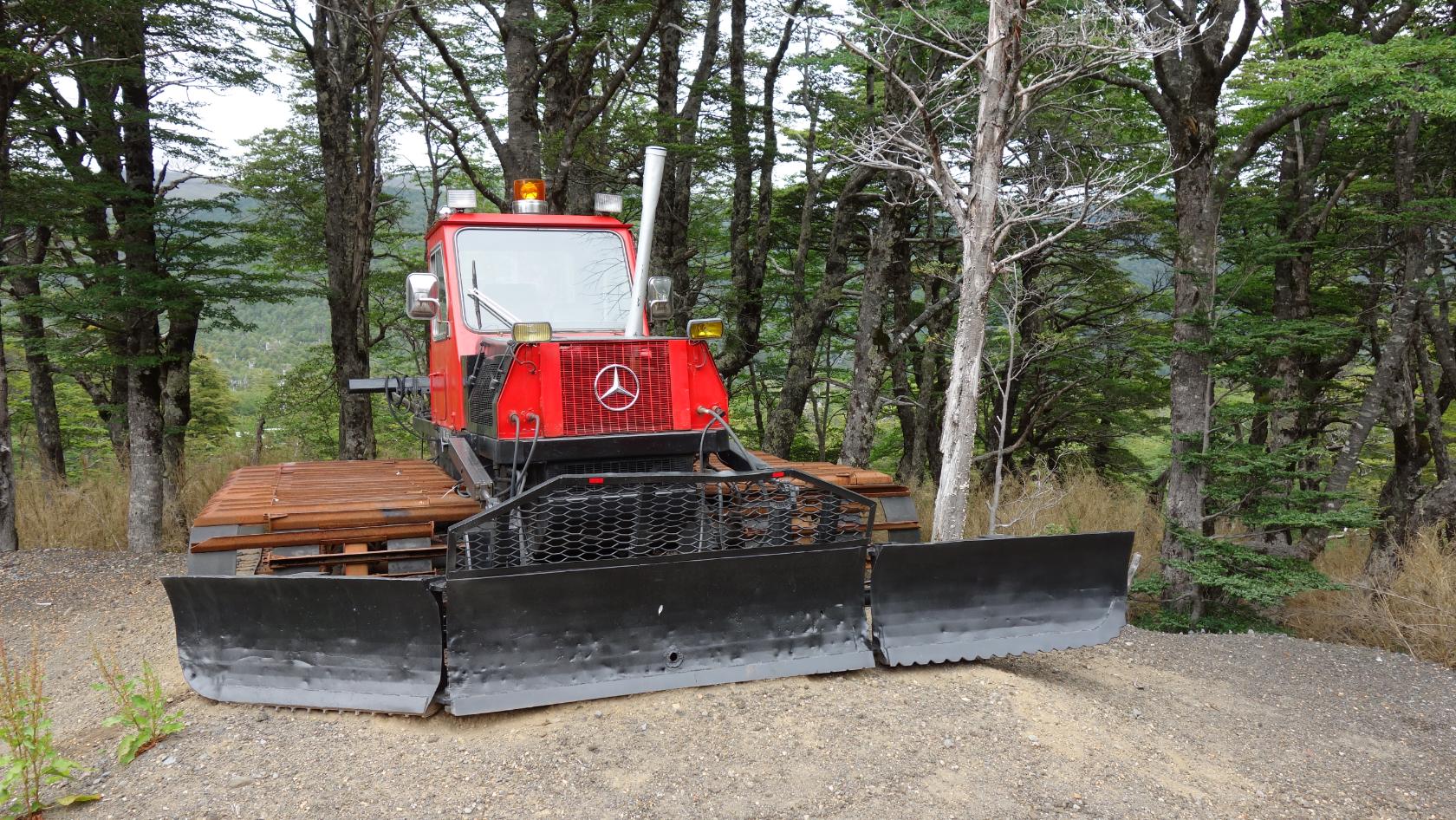
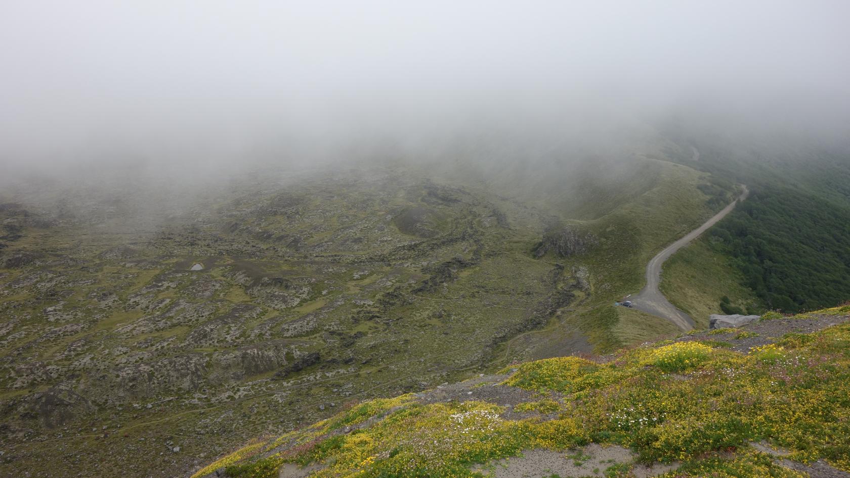
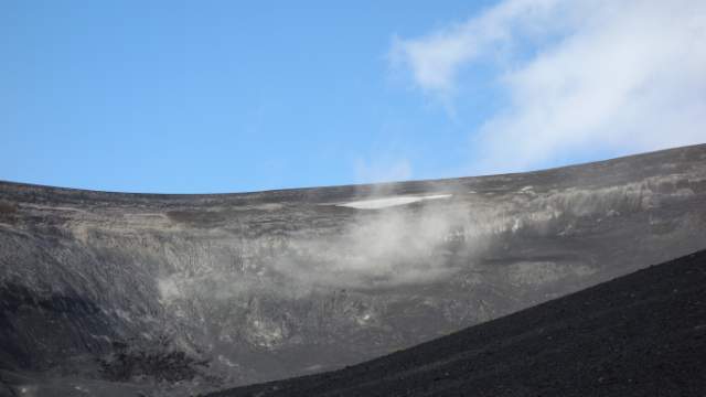
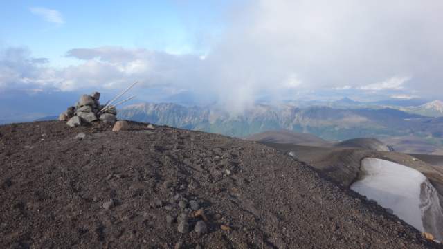
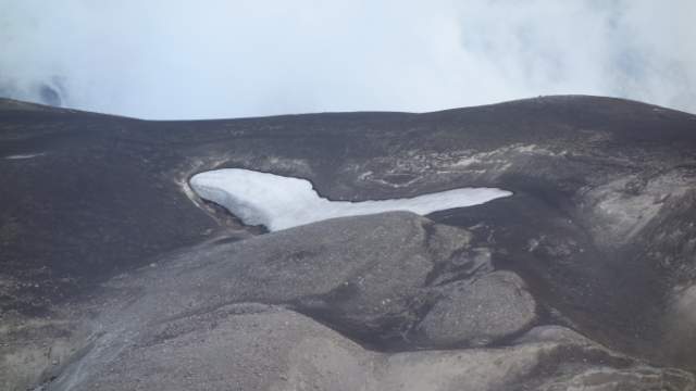
Antillanca is a really cool ski resort because in the winter, you ski down the steep hillsides of volcanoes and it looked fantastic. The facilities were nice too, wooden old school cottages. What straught me was a german school just off the ski centre - there’s a huge German presence in at least this area, so much that Chileans accepted kuchen to Spanish and you can see it on all signs. Karin with José were so nice they took me up to the Raihue volcano crater, which saved me a lot of sweat and an hour long ascent. It was really cold up there and when I told them I’m going to camp out, they said I’m gonna be really cold and gave me chocolate! So nice from them :) The crater was impressive with its colors, view all around and the imponent Casablanca volcano behind and above. The road then continues around the crater to another mirador (viewpoint), but I couldn’t see much due to clouds..
From Antillanca to Pampa Frutilla
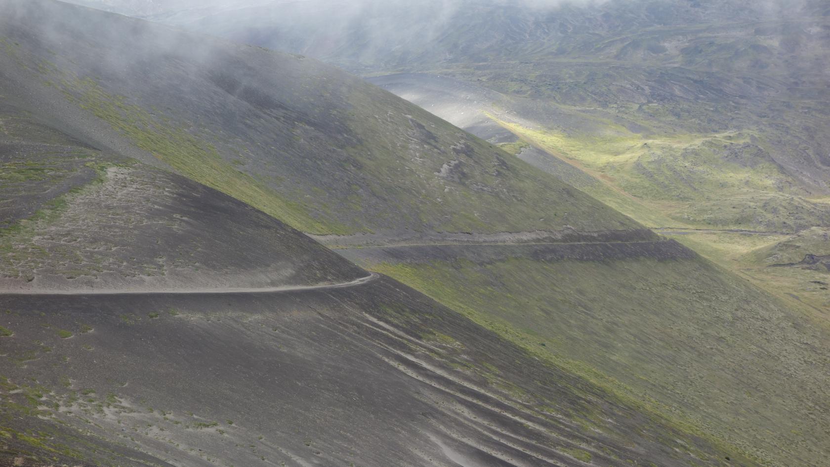
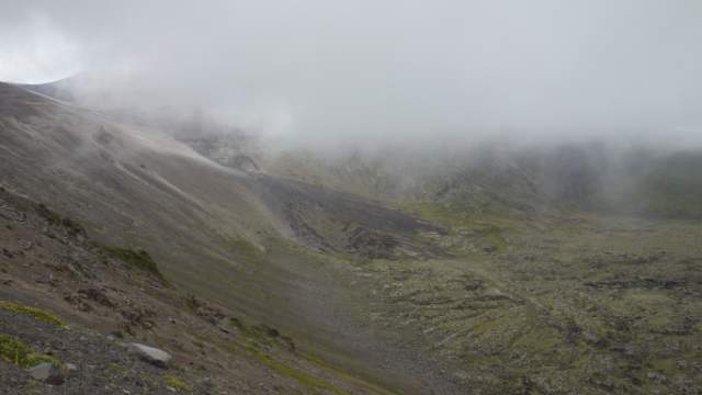
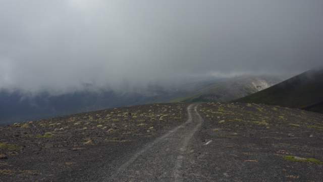
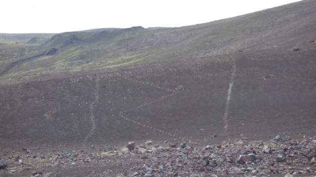
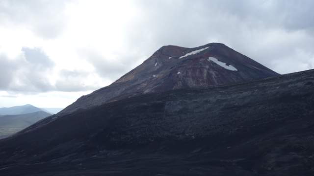
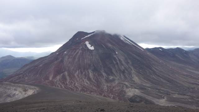
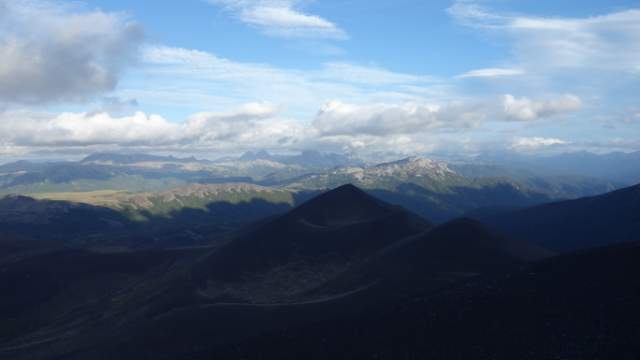
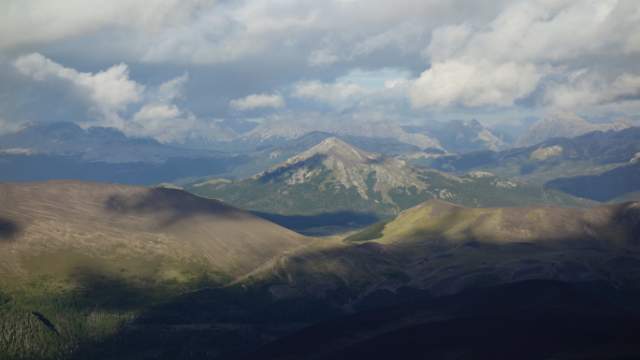
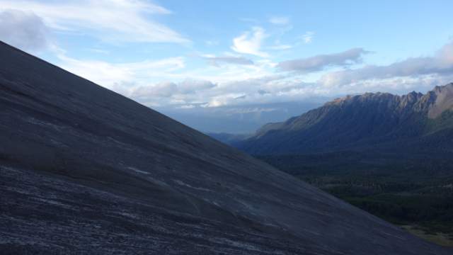
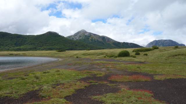
I then took a left there onto a sand road getting narrower and narrower until it got lost in a dead end. A footpath was supposed to carry on, but actually there wasn’t any and the trail went just across the lava/sand field, which was walkable, but progress was much slower. The “trail” led under the Casablanca volcano offering incredible views to the volcanic and mountainous sceneries around. After an hour of walking on a rather flat section, the path started to climb from 1300m to 1800m! In the next hour, I made it to the top, it was a hard climb and I could definitely feel it!
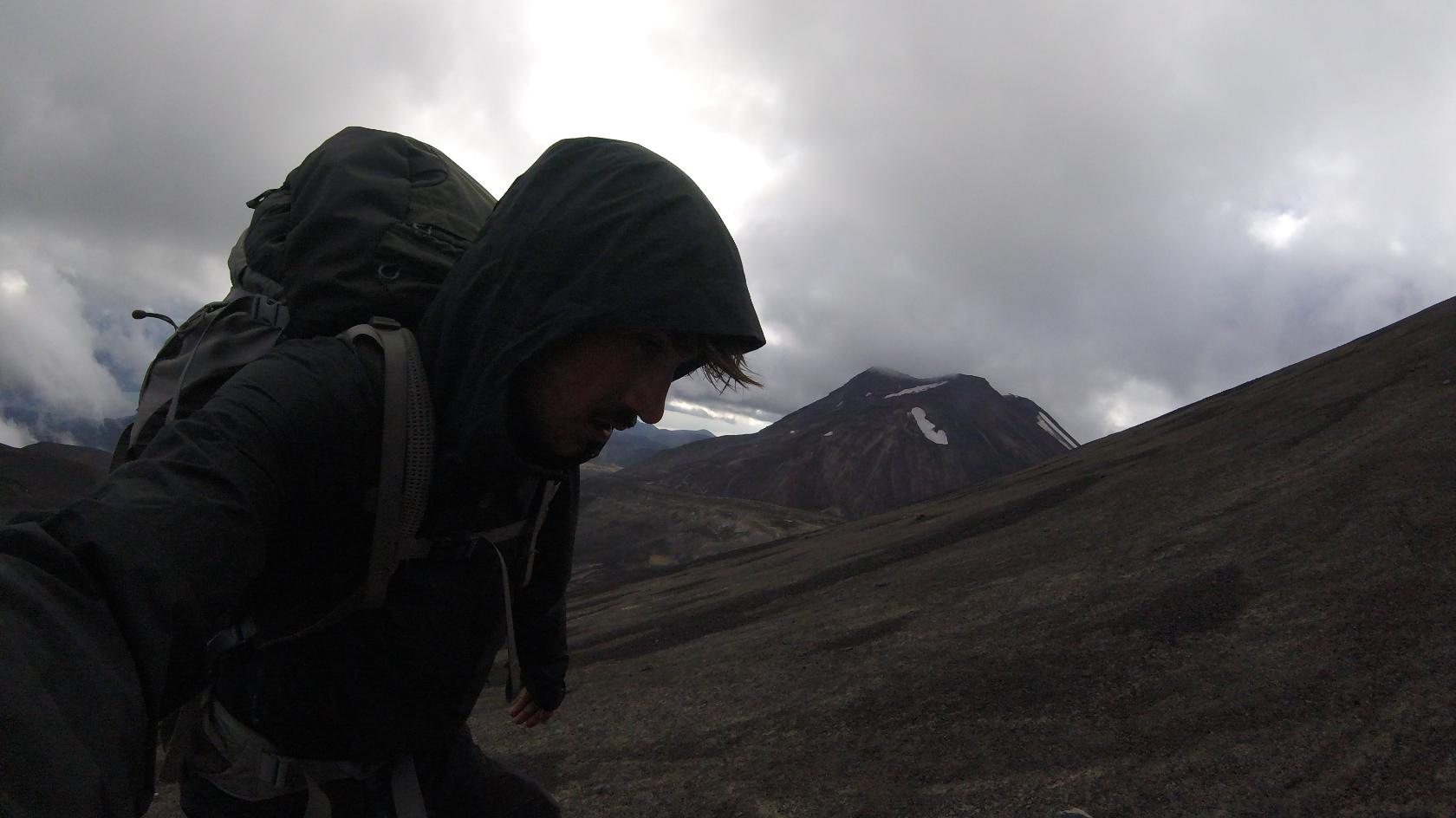
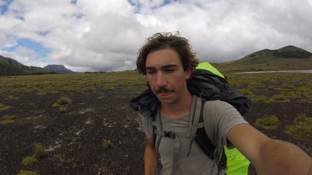
Once on the top, the views were even better. The bare volcanic mountains provided for lookouts as far away as Argentinian lakes, separated from Chile by the majestic Andes mountains! Continuing on the top was somewhat tricky at first - it was really windy and the remains of snow on the side of the mountain meant that I had to go around under and then climb back up onto the summit. Luckily I made it with my 15kg backpack!
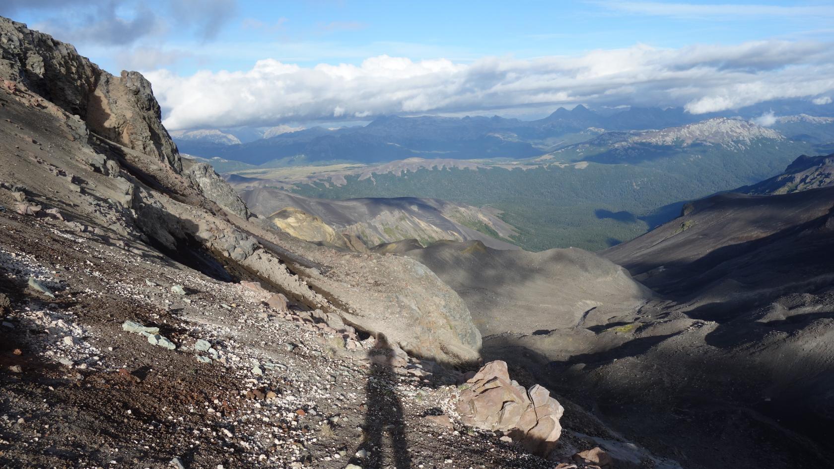
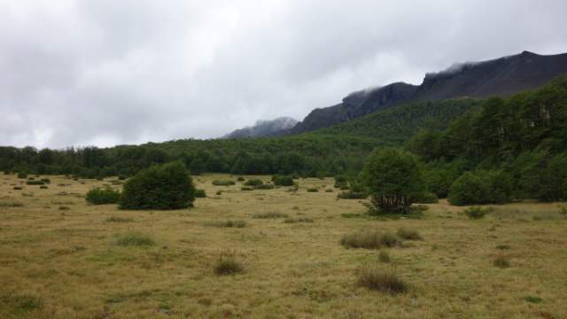
Next, the trail continued along the contours slowly back down. The seemingly black lava was actually white underneath the first layer, which meant I had sand/dust everywhere. In your shoes, face, clothes. Everything was really dusty and every now and then, I had to empty my shoes from the dust. It was close to 8pm and I had to hurry to find a good camping spot not too exposed and not on a downhill slope of the volcano. Luckily I made it quite far even though I started really late (4pm). The trail went into the woods, it was almost invisible and the GPS was once again very handy. After a brief visit to the woods, the trail comes out onto a meadow with bushes, perfectly set up for a quiet, sheltered camping. I pitched my tent, changed my sweaty clothes for dry ones, ate some cookies and chocolate as I was too lazy to cook, wrote something in the diary and went to sleep.
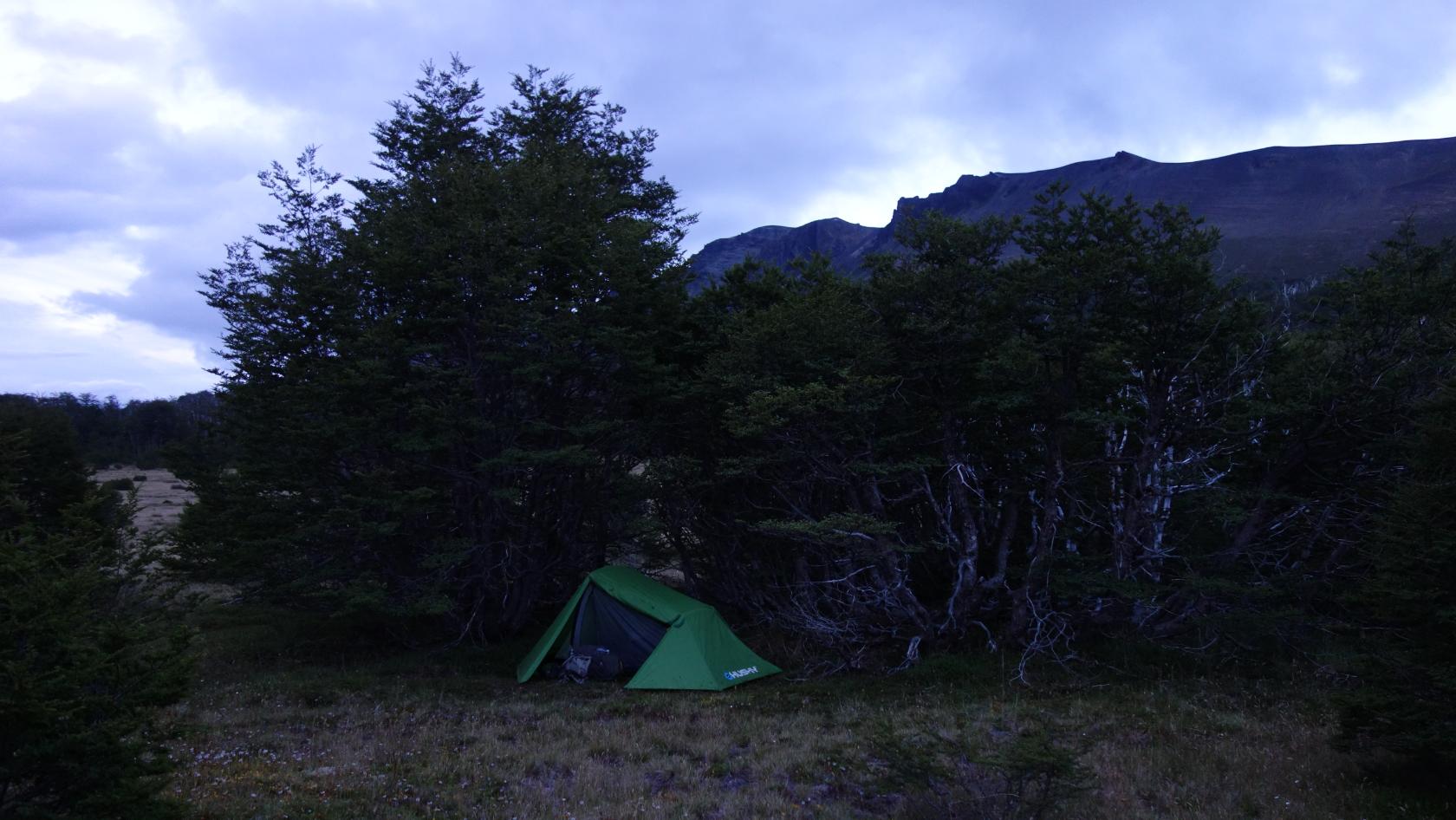
Day 2: Pampa Frutilla
It was raining the next day all morning. So much I was able to collect 2L of rainwater, which was great because I almost ran out of drinking water and there were no streams on the map nor in reality.. At about 1pm, it was raining less and so I set myself back on the road with the intention to get at least to the lakes to wash off dirt from the ashes of yesterday’s volcanic march.
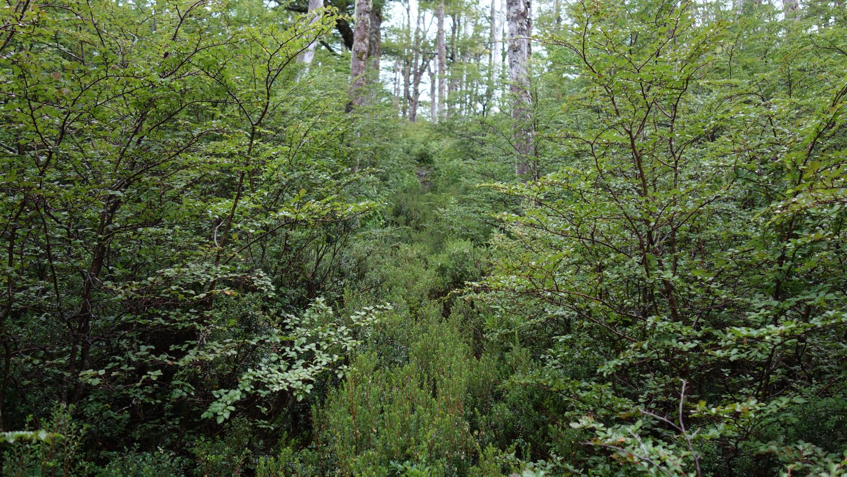
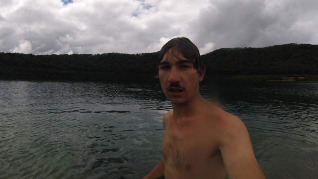
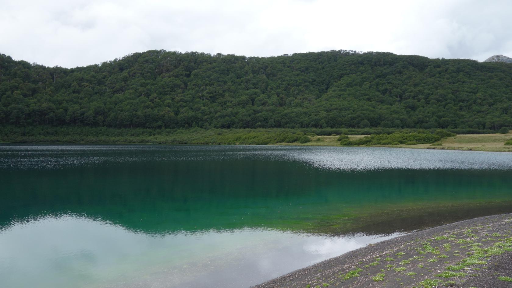
The footpath was lost somewhere in the vegetation, but it was only a brief section after which I got on a car sized dirt road leading up the mountain and onto the wide open lava fields. I was lucky it was no longer raining and after no more than 40min, I was able to see two lakes to my surprise as there was only one of them in the map.., nice! I jumped in, the water was cold but refreshing. It started to rain again, I cooked pasta with tomato sauce and also made some tea to warm up :)
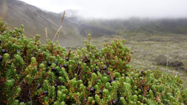
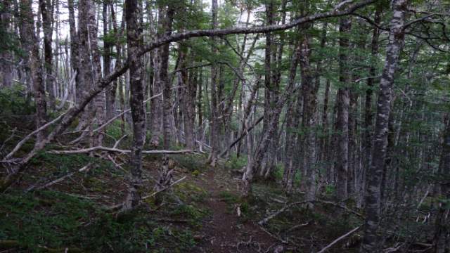
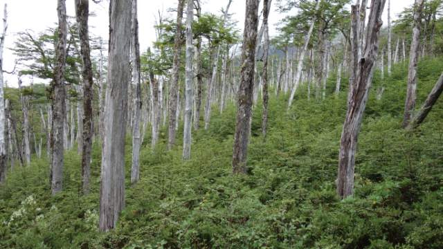
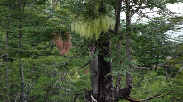
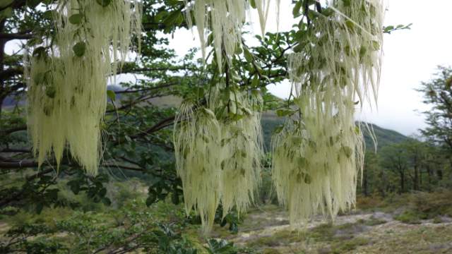
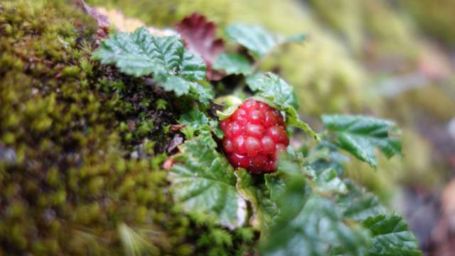
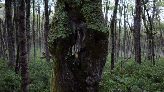
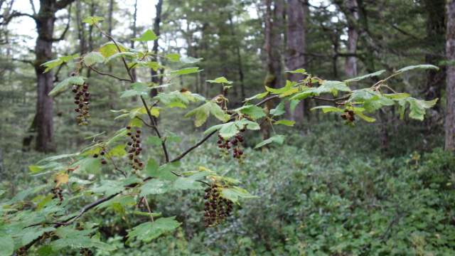
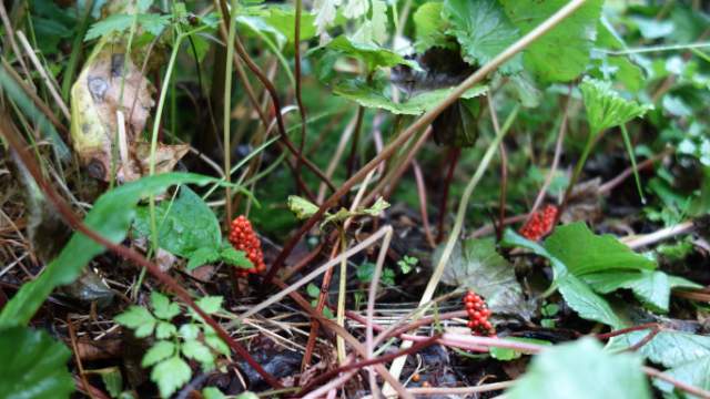
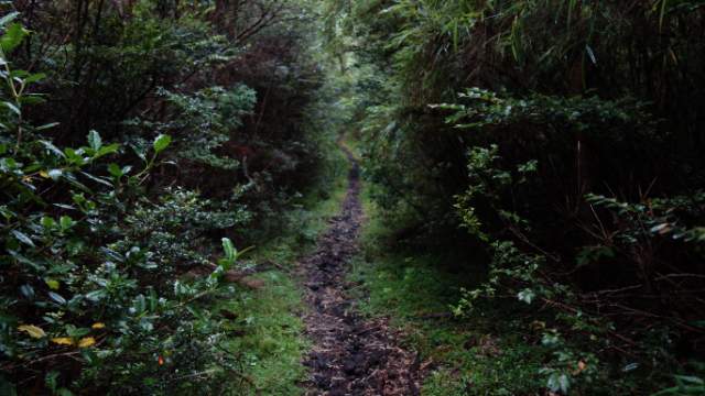
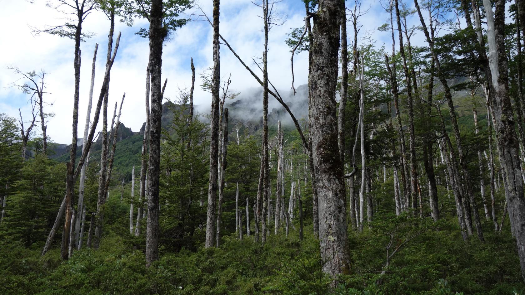
Coming down, the wide dirt road was being claimed back by the nature and eventually turned into a footpath with overgrown vegetation (or rather a green tunnel). So much that going through it was worse than being in heavy rain as the forest was soaked with water. I was drenched. The woods I was going through were spectacular though - huge dead trees, moss of green and pink, a lot of bushes, bamboo, forest fruit which looked like blackcurrant. Awesome! After about 2hrs, I got to another meadow, where I saw an open shelter with some backpackers warming up by the fire, it was great to see someone! Those people were an American couple, Wes and Kate from California were on a bigger mission and were hiking all the way down to Tierra del Fuego, following the Greater Patagonian Trail. It was awesome to chat with them by the fire and we’ll probably meet again in the USA! They had proper equipment including an inflatable boat to cross the lakes and dried food for 2 weeks… Very inspirational trip, good luck guys!
Rounding up
All in all this trail was awesome as it offers great natural diversity - volcanoes, woods, lakes or meadows. I wish I knew what forest fruits were edible (and which were poisonous) as there were loads. It is necessary to carry enough water on the trail - water is only available in Antillanca, Pampa Frutilla and at the shelter 8km away from Anticura. It was really cold up at the volcanoes and during night, make sure you have warm (5°C) and waterproof gear (mountain-proof clothes, good sleeping bag, pad and tent). There is hardly anyone and the trail is badly marked, GPS is a must (smartphone nowadays). Plus be sure to carry enough food as for resupplying, you’d need to go back as far as Entre Lagos, where you can find some supermarkets or bistros selling food at normal prices (there’s also a restaurant at Antillanca). Some times and distances are below (I went rather fast and with apx 15kg backpack):
-
Day 1: From Antillanca over volcanoes 4,5hrs 13,5km
-
Day 2: Meadow to Pampa Frutilla 1hr 6km
-
Day 2: Pampa Frutilla to shelter 3,5hrs 13km
-
Day 3: Shelter to the main road connecting to Argentina 1hr 5km (just to spend one more night in the nature)
